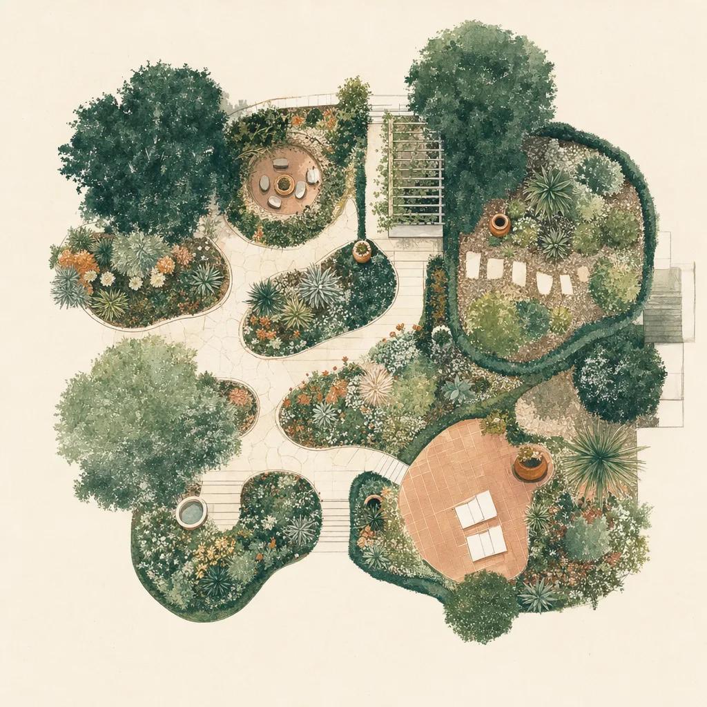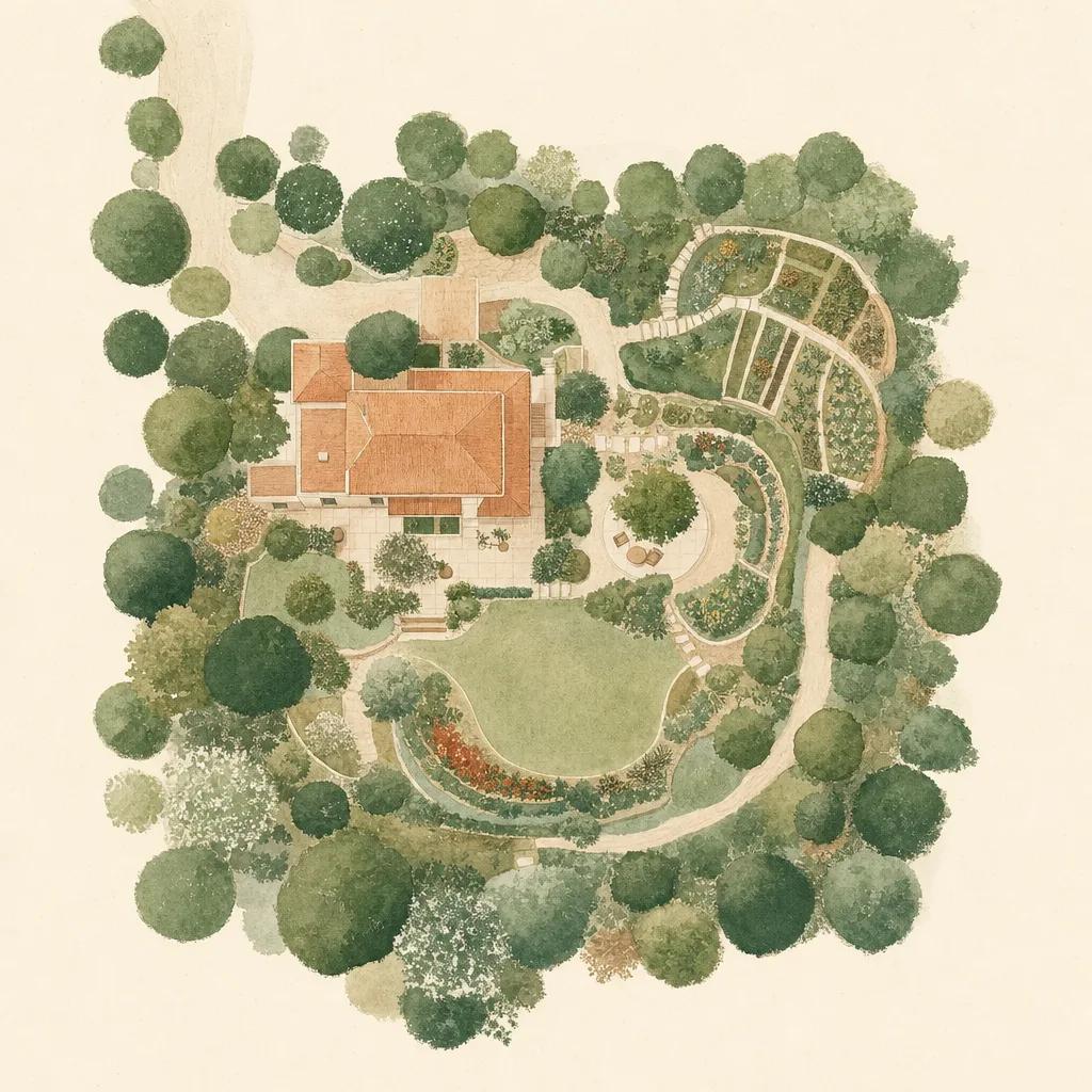
A yard map answers the questions every gardener eventually asks: what is planted where, how big is that bed actually, and where does the sun fall? With Sow, you build that map on a satellite image of your real property — draw beds and paths, mark trees, and pin each plant to the spot where it grows, with a distance scale for real measurements.
Unlike a paper sketch or a CAD tool, the map lives in your pocket and connects to everything else in the app: every pinned plant carries its care profile, and the map updates as your garden does.
Why map your yard at all?
Memory fails precisely when you need it: which dormant stick is the hydrangea, where the tulip bulbs are before you slice into them in fall, which bed got compost last year. A yard map is also the foundation for planning — measuring a bed from the satellite view beats dragging a tape measure, and a full property map reveals how much lawn you could convert to lower-maintenance planting.
If you have ever moved into a new house and inherited a mystery landscape, mapping plus Sow's plant identifier is the fastest way to take inventory: walk the yard, identify each plant, and pin it in place as you go.
Beds, paths, trees — and sunlight
Sow's map tools cover the three layers a useful site plan needs: areas (garden beds, lawn, patios, veggie plots), features (paths, structures) and plants (trees, shrubs, perennials pinned individually). Solar overlays show how light moves across your property, so you can match plant sun requirements to the spots that actually deliver them.
A map that manages, not just records
Because each mapped plant is a real plant record, your map becomes an operating dashboard: see what needs water during a dry spell, find every plant that needs fall pruning, and track how each bed's value grows. It syncs to usesow.com, so you can plan on a big screen and update from the garden.